


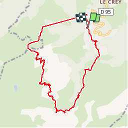

18,1 km | 34 km-effort


Utilisateur


Application GPS de randonnée GRATUITE
 SityTrail
IGN / Instituts géographiques
SityTrail World
Le monde est à vous
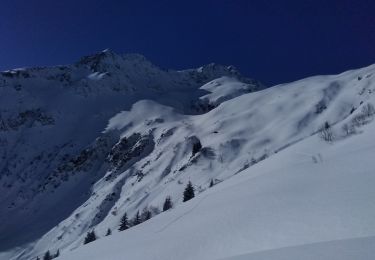
Randonnée Marche de 9,8 km à découvrir à Auvergne-Rhône-Alpes, Savoie, Les Avanchers-Valmorel. Cette randonnée est proposée par xtof_ts.
Départ avec le télésiège des Lanchettes.

Marche

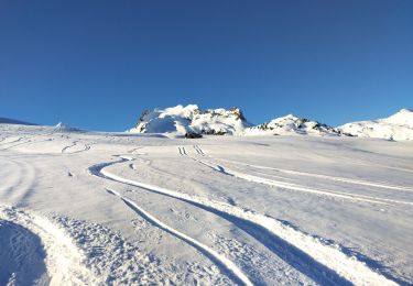
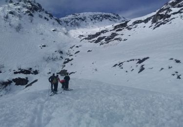
Ski de randonnée

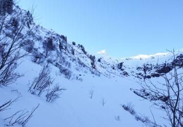
Ski de randonnée
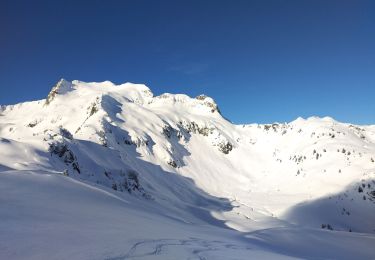
Ski de randonnée
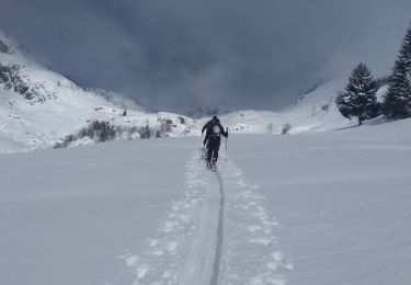
Ski de randonnée
Ski de randonnée
Ski de randonnée
Ski de randonnée
Ski de randonnée